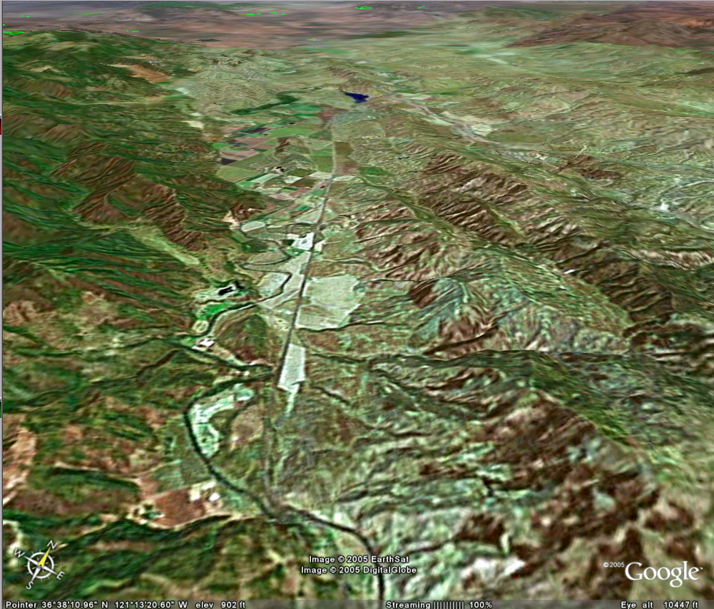
The San Andreas runs bottom to top left of center. A small pond marks the east end of Stone Canyon, west and north of the San Benito River, which winds across the fault and passes the 101 Ranch.
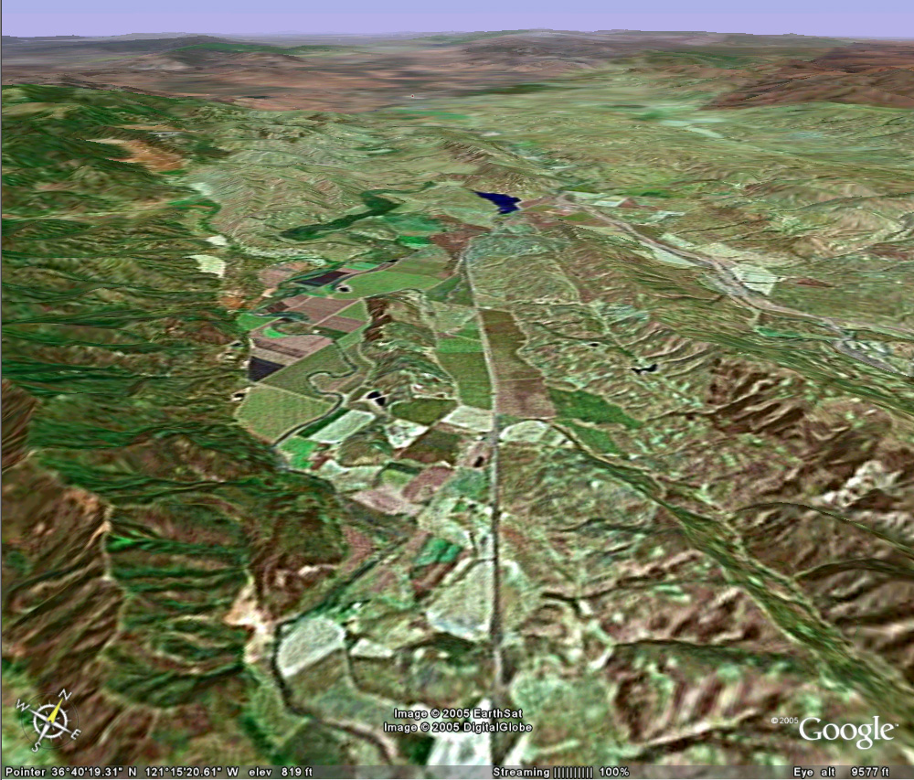
Stone Canyon
Stone Canyon was my research project which culminated in my dissertation. There are still hypotheses there to test. Most of my photos from that time interval have yet to be scanned.
The San Andreas runs bottom to top left of center. A small
pond marks the east end of Stone Canyon, west and north of the San Benito River,
which winds across the fault and passes the 101 Ranch.
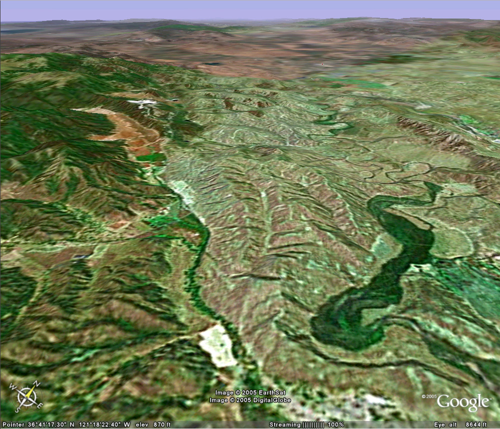
Investigating deformation where the fault is exposed. You will need your 'return' arrow to get back here.
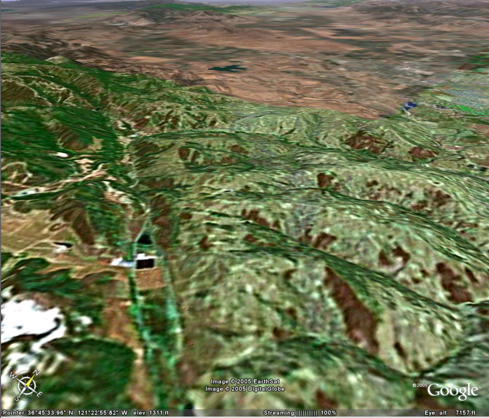
If you've seen the background of my home page, you've seen a
photo taken from the highway looking over these vineyards toward the San Andreas
fault and the Gabilan Range to the right (west). The Calaveras fault trace
is visible to the right, where it begins to diverge from the San Andreas.
The Almaden Winery aging barn lies up this draw, developed along
the San Andreas.
 Google
did not bother to make high-resolution images of this landmark, the famous
deformed 'wine barn' just right of the 2 ponds left of center. The San
Andreas trace lies in the long valley between hills and disappears into complex
high hills to the northwest.
Google
did not bother to make high-resolution images of this landmark, the famous
deformed 'wine barn' just right of the 2 ponds left of center. The San
Andreas trace lies in the long valley between hills and disappears into complex
high hills to the northwest.
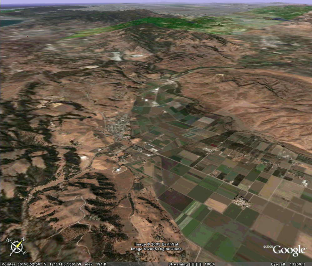
San Juan Bautista lies on a low rise delimited by a scarp on the
east side, the San Andreas fault. The 1906 rupture terminated near this
mission town, where artifacts and buildings from the Franciscan Missionary years
are on display in a museum. Researchers have studied letters written by
the missionaries in an attempt to extend California's earthquake history back to
the late 1700s.