Tour of the San Andreas fault
Dr. Don Stierman, Pilot
Updated 09/15/2005
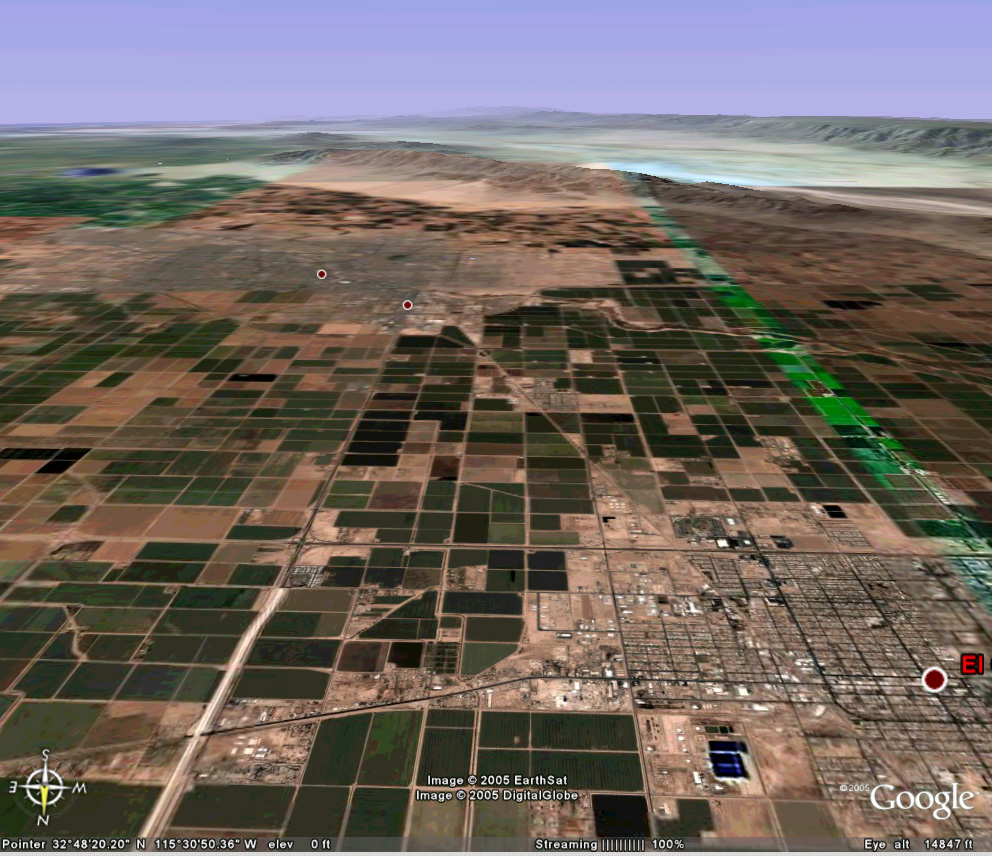
Imperial Valley, California, view to the south. The Gulf of California lies in the distance. We cannot see evidence that this fault segment broke in 1940 and again in 1979.
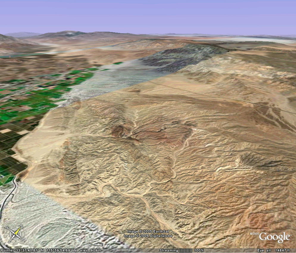
Looking north from over the Salton Sea, linear features in an alluvial fan mark probable fault traces.
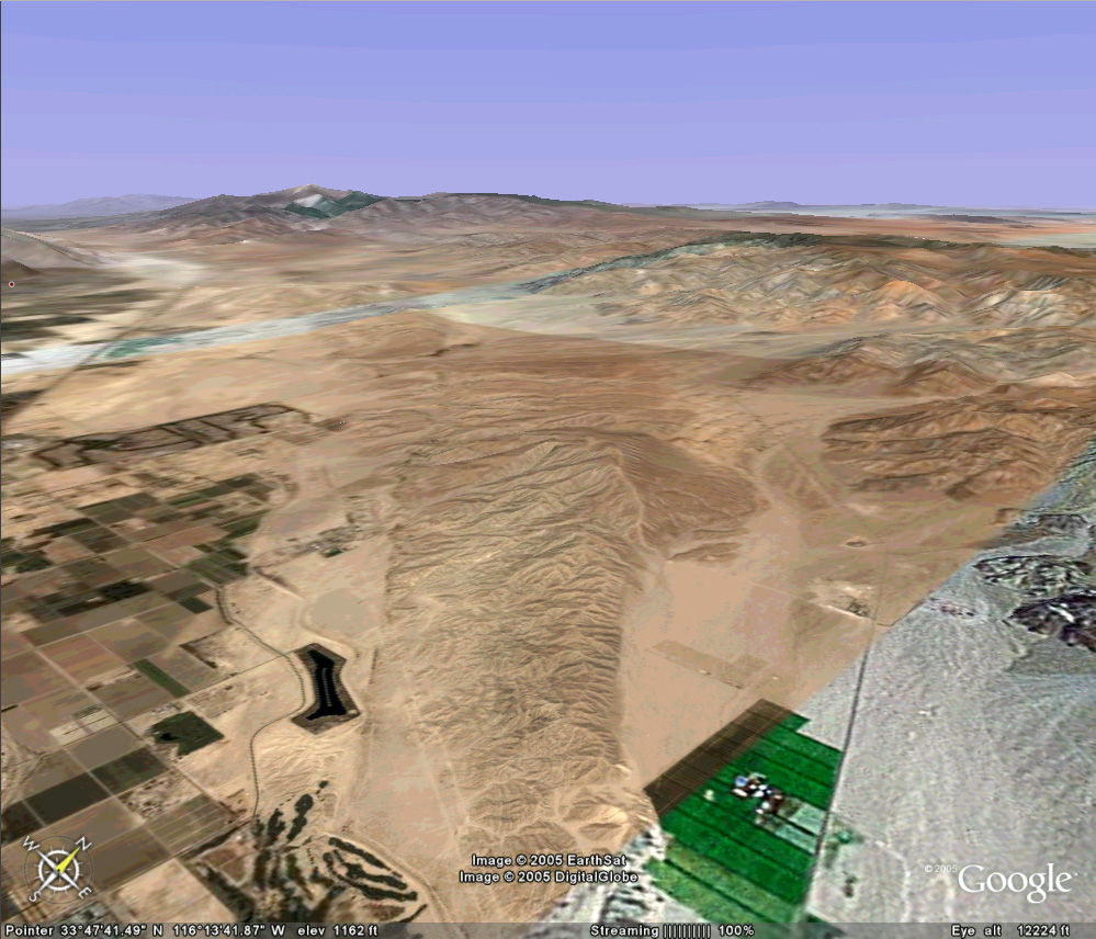 Further north, a low ridge has faults on both sides. The
San Andreas system is not a single continuous fracture.
Further north, a low ridge has faults on both sides. The
San Andreas system is not a single continuous fracture.
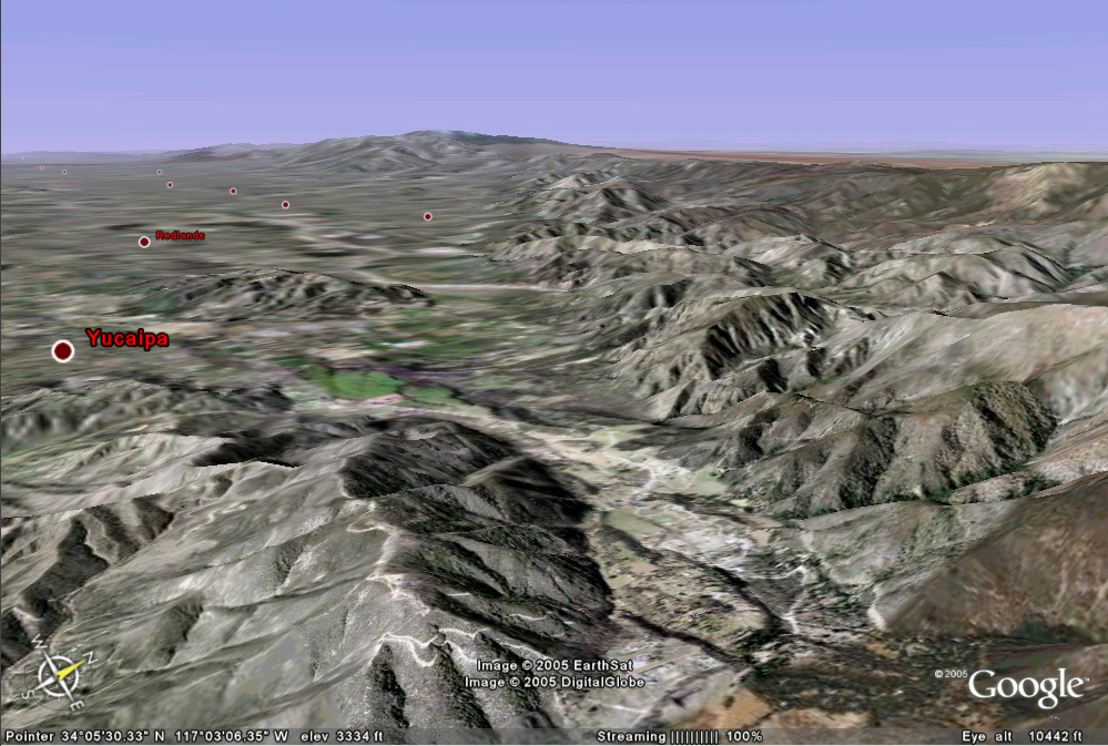 Looking
from over Banning Pass toward the northwest and San Bernardino. The San
Andreas fault runs along the base of the San Bernardino Mountains (right).
Looking
from over Banning Pass toward the northwest and San Bernardino. The San
Andreas fault runs along the base of the San Bernardino Mountains (right).
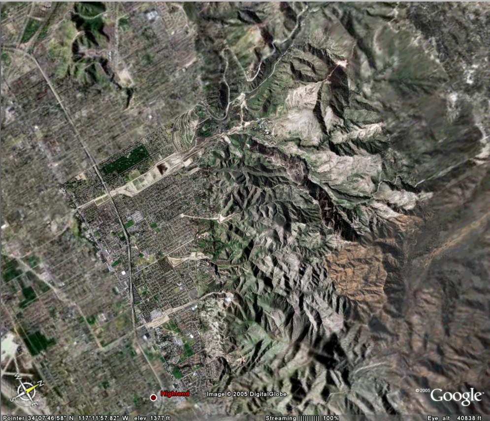 Two linear features run from the bottom left upward (northwest)
in this vertical view of northeast San Bernardino. Both should be
considered active traces of the San Andreas fault.
Two linear features run from the bottom left upward (northwest)
in this vertical view of northeast San Bernardino. Both should be
considered active traces of the San Andreas fault.
One trace disappears into graded pads for new homes on 'view properties.' Human activities and natural erosion can obscure faults.
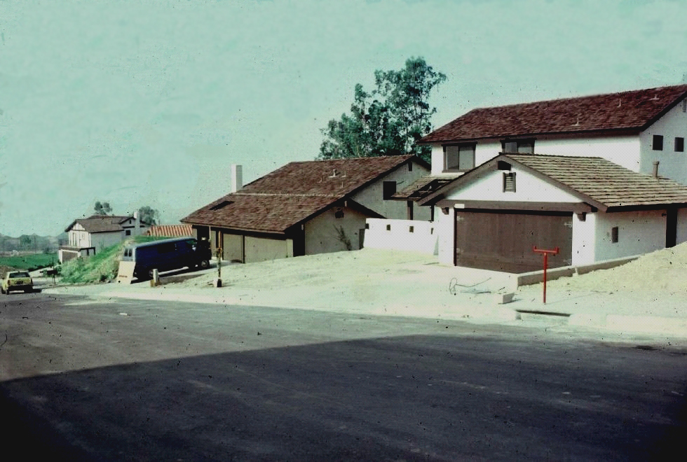
We took these 'before' pictures so we'd have something to compare with how these structures withstand a big earthquake along this stretch of the San Andreas, which lies at the base of the hill, just the other side of the last house on the left of the photo. The other strand of the San Andreas lies a couple hundred meters behind the photographer, up the hill. Unfortunately, a major fire destroyed all of these homes (note wood shake roof shingles).
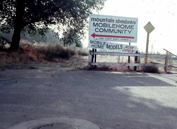
A neighboring development discloses that this is
indeed a mobile home community!
