 View up the San Andreas to the northwest from over northern San
Bernardino - "A City on the Move" (I do not know if this remains the town
motto). The San Jacinto fault approaches the San Andreas from the left
center edge of the image.
View up the San Andreas to the northwest from over northern San
Bernardino - "A City on the Move" (I do not know if this remains the town
motto). The San Jacinto fault approaches the San Andreas from the left
center edge of the image.Lone Pine Canyon to Palmdale
View up the San Andreas to the northwest from over northern San
Bernardino - "A City on the Move" (I do not know if this remains the town
motto). The San Jacinto fault approaches the San Andreas from the left
center edge of the image.
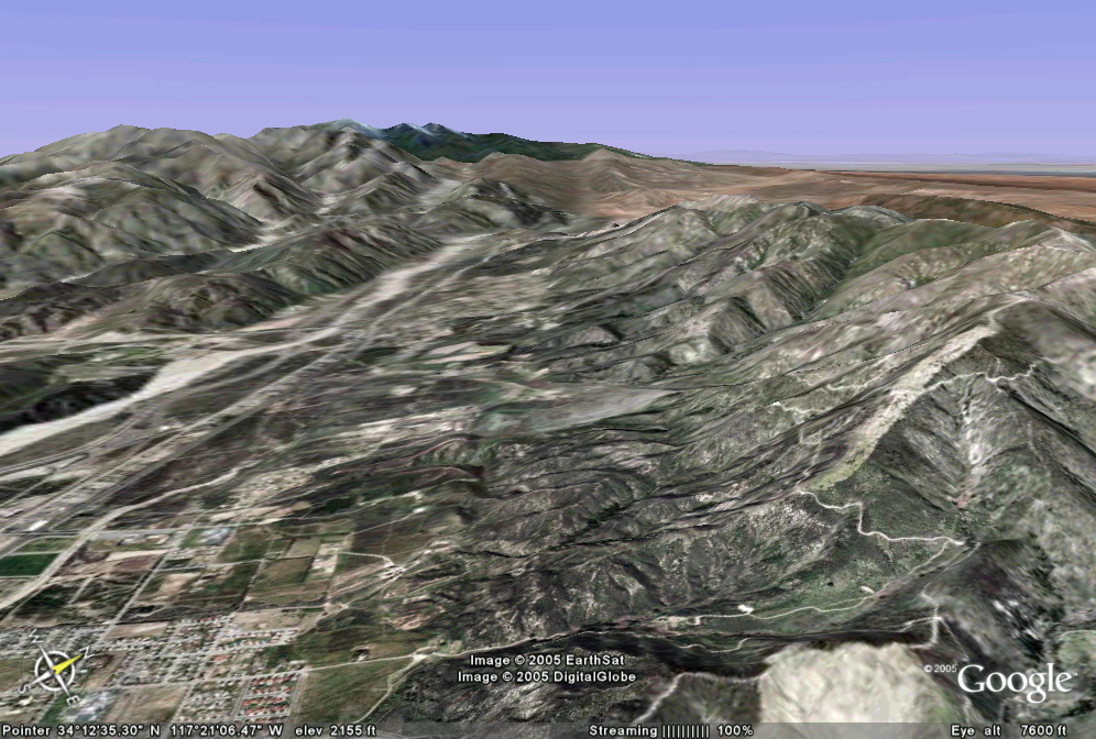
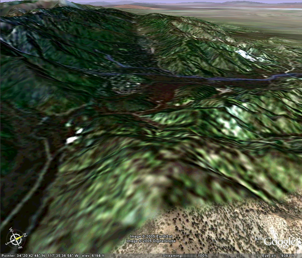
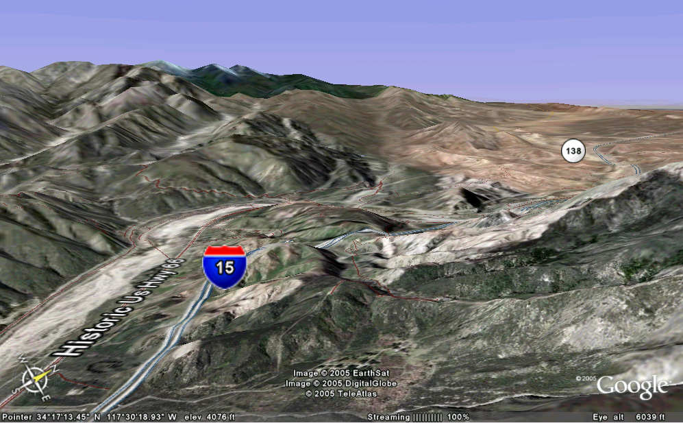 The San Andreas splits this image in half, running from bottom center into the
saddle on the horizon. The other saddle to the left is the San Jacinto
fault. Lone Pine Canyon is the broad valley where the 1857 Ft. Tejón
earthquake rupture terminated. Interstate 15 and busy railroads connect
the east end of the Los Angeles basin to Las Vegas. Railroads and
Interstate 10 run through Banning Pass.
The San Andreas splits this image in half, running from bottom center into the
saddle on the horizon. The other saddle to the left is the San Jacinto
fault. Lone Pine Canyon is the broad valley where the 1857 Ft. Tejón
earthquake rupture terminated. Interstate 15 and busy railroads connect
the east end of the Los Angeles basin to Las Vegas. Railroads and
Interstate 10 run through Banning Pass.
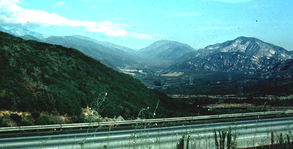
Lone Pine Canyon viewed (toward northwest) from the ground, with photographer standing where he thinks the San Andreas runs under Interstate 15 in Cajón Pass.
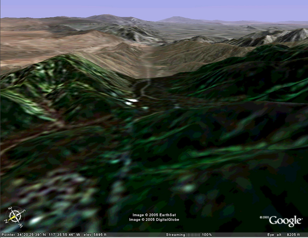
View back toward San Bernardino from the crest of Lone Pine Canyon. Many western shorts were shot in this canyon during the 1940s and 1950s. There is not much there to prevent filming remakes of Gene Autry hits today.
Turning around at the crest of Lone Pine Canyon and looking northwest, we see the town of Wrightwood nested in the valley formed by the San Andreas fault. Many Los Angeles residents escape the summer heat by vacationing in the cool mountain air, and snow falls here in sufficient quantities to support winter skiing. Part of Wrightwood rests on a notorious landslide but that is another story.
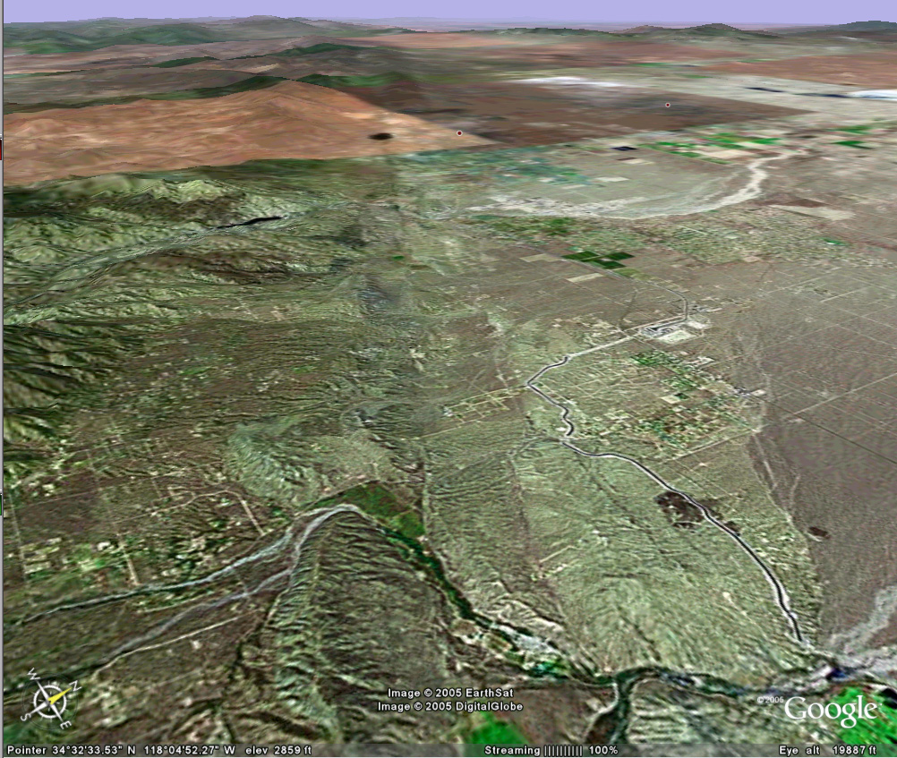
The high desert town of Palmdale lies in the distance. Two linear traces mark the San Andreas fault zone.
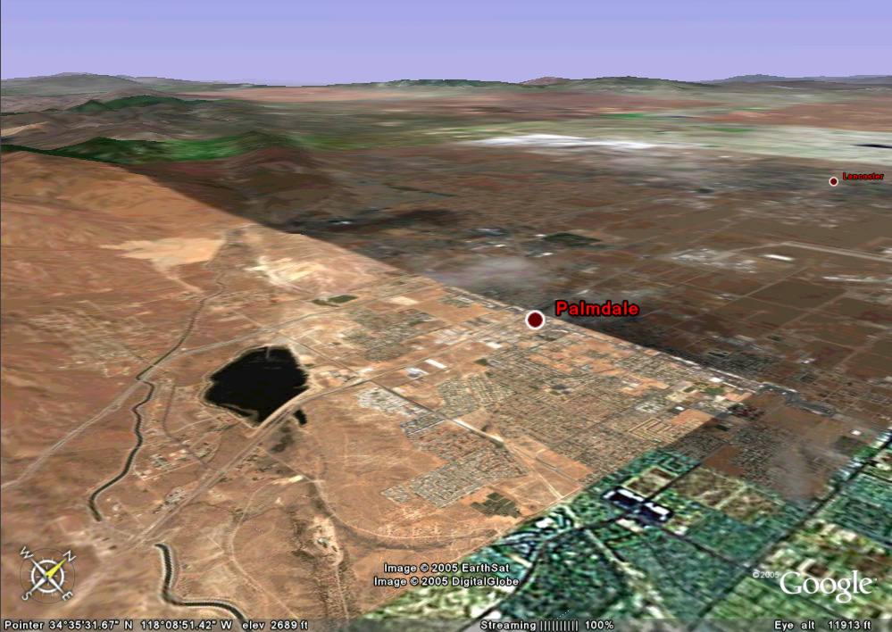
The Palmdale reservoir lies on the San Andreas fault.
People took advantage of a natural scarp to develop a water storage facility.
An aqueduct carries water from Northern California to the Los Angeles basin.