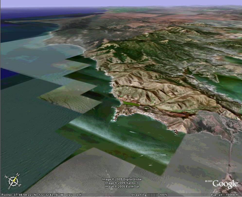
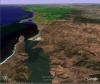
Northern San Andreas

The Golden Gate Bridge crosses the Bay inlet in the lower right
of this image, and the San Andreas fault runs under the sea left of the bridge
and comes ashore in the broad valley, upper left. Point Reyes (far left)
is famous for its great white sharks and fog. Bodega Bay lies in the
distance.
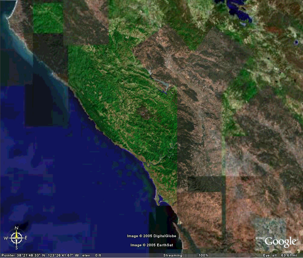
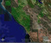
 Bodega Bay, where "The Birds" was filmed. Pacific Gas & Electric was
excavating for a nuclear power plant on the point of land marking the north end
of the bay inlet. Dr. Richard "Dick" Jahns, Dean of Stanford's School of
Earth Sciences, was quite amused by the magnitude of ignorance demonstrated by
PG&E executives (this is near the 1906 epicenter!). The story gets better
- this nuclear plant was relocated to the south, a coastal site name Diablo
Canyon, far from the San Andreas but near an offshore fault perfectly capable of
magnitude 7+ earthquakes, a fault shown on oil exploration cross sections but
which PG&E did not appear interested in learning about until the plant was
nearly completed. Time delays and retrofitting the nuclear plant cost PG&E
more than the entire funding of earthquake research in the USA over that same
time frame.
Bodega Bay, where "The Birds" was filmed. Pacific Gas & Electric was
excavating for a nuclear power plant on the point of land marking the north end
of the bay inlet. Dr. Richard "Dick" Jahns, Dean of Stanford's School of
Earth Sciences, was quite amused by the magnitude of ignorance demonstrated by
PG&E executives (this is near the 1906 epicenter!). The story gets better
- this nuclear plant was relocated to the south, a coastal site name Diablo
Canyon, far from the San Andreas but near an offshore fault perfectly capable of
magnitude 7+ earthquakes, a fault shown on oil exploration cross sections but
which PG&E did not appear interested in learning about until the plant was
nearly completed. Time delays and retrofitting the nuclear plant cost PG&E
more than the entire funding of earthquake research in the USA over that same
time frame.
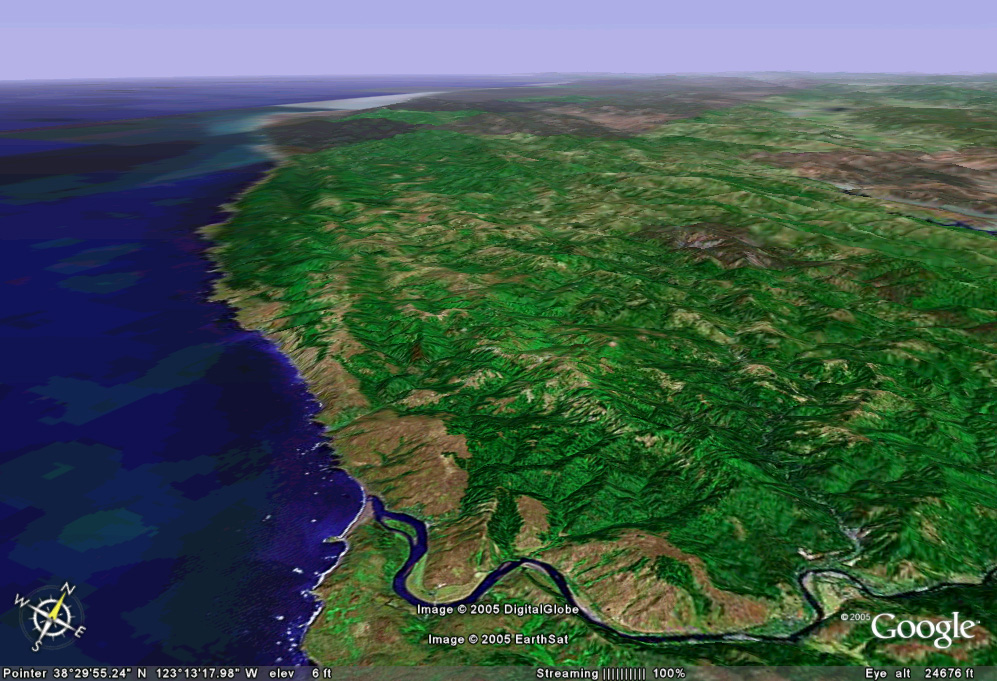
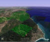
 Vertical view of north coast of California, where the San Andreas
runs onshore, then offshore, then back on before ending at the Mendocino
fracture zone.
Vertical view of north coast of California, where the San Andreas
runs onshore, then offshore, then back on before ending at the Mendocino
fracture zone.

Low-angle view toward northwest shows fault up close but
obvious signs of the San Andreas are lost in the hills in the distance.
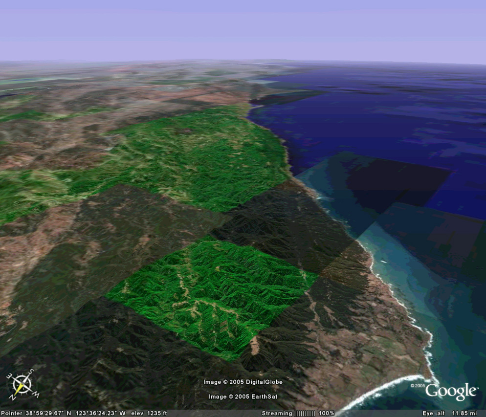
Looking southeast, the San Andreas enters the image from Bodega
Bay as a broad valley, which becomes lost in the hills as another, narrower
linear feature to the lower right appears to take over as the fault trace.
This kind of left-offset of a right-lateral strike-slip fault makes for pressure
ridges, whereas a right-offset in the trace of a right-lateral fault makes for
sag ponds.
End of tour. Return to Index.