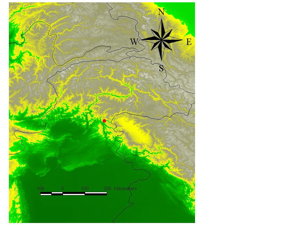
 The
epicenter (red dot) imposed on digital terrain model near the Pakistan-India
border. Green is low elevations, white is high elevations.
The
epicenter (red dot) imposed on digital terrain model near the Pakistan-India
border. Green is low elevations, white is high elevations.Pakistan Earthquake of October, 2005
The
epicenter (red dot) imposed on digital terrain model near the Pakistan-India
border. Green is low elevations, white is high elevations.
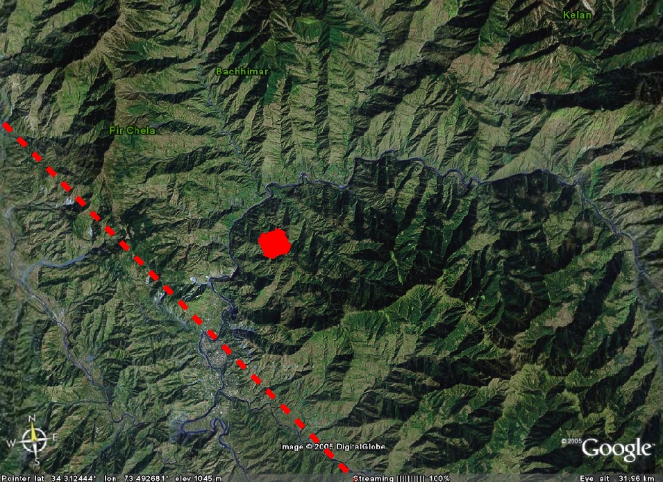
Google-Earth gets us close, satellite images superimposed on topography. This is really rugged country, highways cling to hillsides prone to landslides. The red dot is the epicenter, the red line a linear topographic feature that could be a thrust fault.
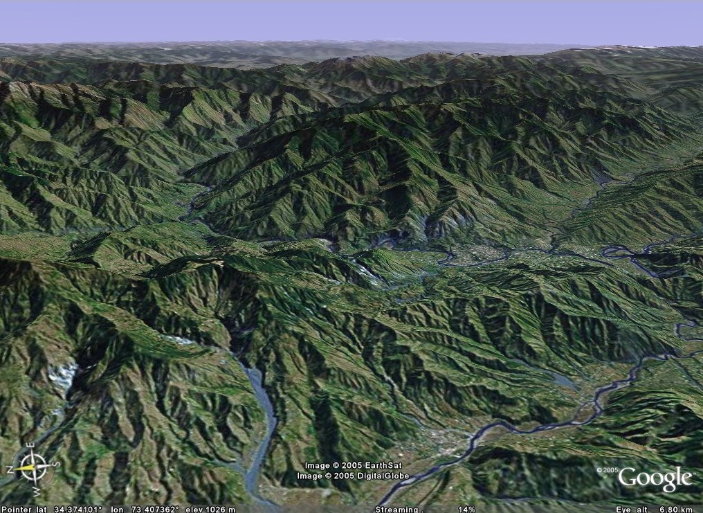 The 'fault' enters this oblique view from the upper right edge
and exits center left. The valley in the foreground could also be a thrust
fault. Thrust faults often come in imbricate sets (stacks - one fault
sheet on top of another, with a slab of rock in between). Most villages
are probably on the floodplains or river terraces (old floodplains left high and
dry when rivers cut their channels deep enough), right on the fault, where
shaking is most severe.
The 'fault' enters this oblique view from the upper right edge
and exits center left. The valley in the foreground could also be a thrust
fault. Thrust faults often come in imbricate sets (stacks - one fault
sheet on top of another, with a slab of rock in between). Most villages
are probably on the floodplains or river terraces (old floodplains left high and
dry when rivers cut their channels deep enough), right on the fault, where
shaking is most severe.